





The National Weather Service has released more details about the tornado that hit Manchester and Oneida on Friday night.
Their assessment team was in Delaware County on Monday to survey the damage. As we told yesterday, they say two tornadoes struck the county – one in Manchester and one in Oneida. Both have been rated an EF-1, which is on the weak end of the scale.
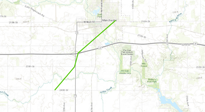
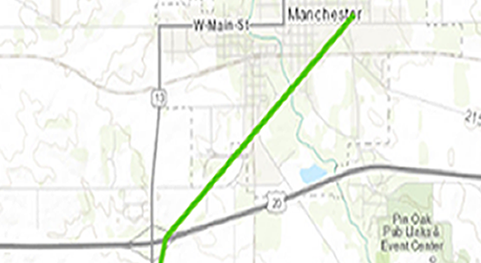
New details from the National Weather Service say the Manchester tornado touched down at 5:20 pm and was on the ground until 5:28 pm. The tornado first hit two miles southwest of Manchester and then moved through the southeast part of town up through East Main Street and Baum Park, damaging farms, homes and trees along its path. The Manchester tornado was about 50 yards wide and reached wind speeds of 110 miles per hour. It’s path was about four miles long.
Manchester Tornado Path (map courtesy of NWS)
Closer look at the Manchester path (map courtesy of NWS)
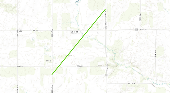
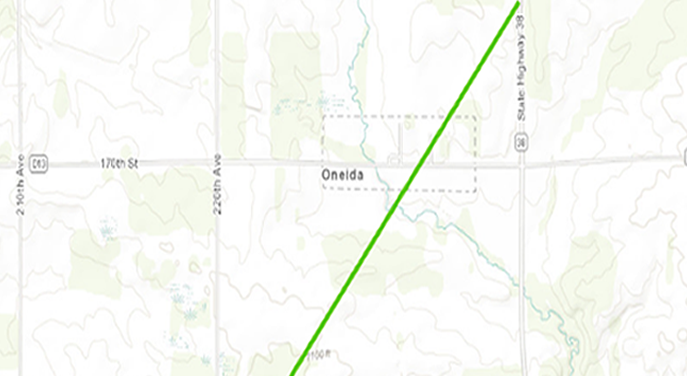
The National Weather Service says the Oneida tornado touched down at 5:30 pm and was on the ground until 5:38 pm. The tornado developed southwest of Oneida and moved northeast, damaging farm buildings, trees and other structures in its path. The tornado’s path was about two and a half miles long. It’s not known how wide the tornado was, but it also reached speeds of 110 miles per hour.Â
Oneida Tornado Path (map courtesy of NWS)
Closer look at Oneida tornado path (map courtesy of NWS)
As of Wednesday morning, twenty tornadoes have been confirmed by the National Weather Service following Friday’s severe weather outbreak.Â

contributed photos of Manchester farm damage (top) & Oneida damage (bottom)
Stay Connected with 94.7 KMCH
Add 94.7 KMCH as a preferred source on Google to see more local news, weather, and sports in your feed.
Follow us on Facebook for breaking news, severe weather alerts, sports, and more.
